(800) 969.4445
Custom & Stock Aerial and Ground Photography Cus
dfg


home

services

about us

galleries

equipment

clients

contact us


What is Aerial Mapping?


Who benefits from using aerial maps?


Have your Town or City Mapped!

Large City Photomaps


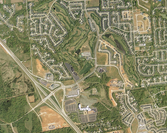
Aerial Mapping is the vertical photography of any given area consisting of two or more images shot consecutively which include overlap from one image to the next. Many images can be spliced together seamlessly, using USGS maps and photomosaicking software, to provide a Photomap of the area requested. Aerial maps can be printed on our large format, Hi-Res plotter, put onto CD-Rom or both with free software to allow you to measure distances, crop images and print.

[Back to Top]


Who Benefits from using aerial maps? Our customers include local governments, realtors, commercial developers, construction companies, engineering firms and investment companies.

[Back to Top]


Have your town or city mapped!

Have Above All Aerial and Specialty Photography map your town or city. By mosaicking dozens of vertical photographs, we can create a seamless photomap of your area. Photomaps, CD-ROMs, Photographic Prints, Wall Murals and Aerial Photobooks are all available to you when you have your town mapped. Please call for a quote.

[Back to Top]


home | services | about us
galleries | equipment | clients | contact us
© 2006 Above All Photography, Ltd.

Above All Aerial & Specialty Photography - STL
Chesterfield, Missouri 63006
Phone: (800) 969.4445
Fax: (317) 845-5656

info@aboveallphoto.com

© 2006 Above All Photography, Ltd.